Up until this point we have had an amazing support system that lives close to the trail. It has been comforting to have a safety net to catch us as we work out the kinks of thru-hiking. Now as we head west and farther away from family a new sense of excitement and freedom is taking hold. It is time to take off the training wheels and step into another gear…
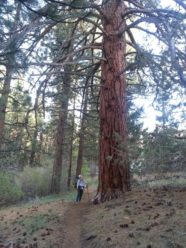
We arrived at Onyx Summit late afternoon and walked towards the setting sun. The first few miles after zero days are always the hardest (especially if you start a hike at over 8000′). We were in a beautiful stand of pines, firs and the largest junipers I have ever seen. We strolled down thru Arrastre creek and found ourselves camped on a bluff watching the sunset. As we drifted off to sleep the full moon rose and with it our wild spirits.
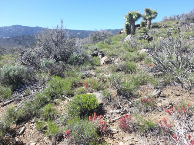
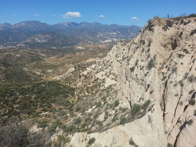
The next few days we dipped in and out of sagebrush, chaparral, oak and coniferous forests. To the north we saw the Mojave desert and to the south big bear lake and the San Gabriel Mountains. The desert plants are incredibly adaptable. At 7000′ the Dr. Seuss-like joshua tree survives in small patches, along with the occassional cactus scattered about. Throughout this area there were many wildflowers in bloom – phlox and indian paintbrush being my favorite. In this area we ran into a group who had llamas as pack animals! Too cool.
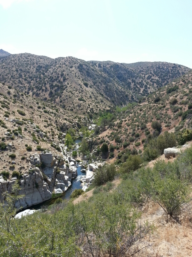
Leaving the big bear area we walked down Holcomb creek and reached the wild Deep Creek section. Familiar plants such as columbine, thimbleberry and currants lined the creek as large cottonwoods, willows, ash and sycamore trees dominated the overstory. This canyon is very steep with the trail usually hundreds of feet up the hill. Our most memorable stop on the trip was at deep creek hot springs. What an amazing way to spend the morning hours soaking our sore bodies.
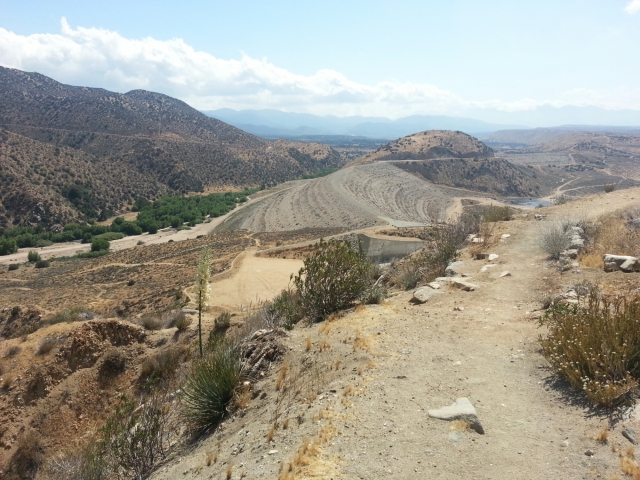
Deep creeks abruptly ends its natural course at the Mojave river reservoir and flood control dam. Its hard to imagine that much water coming thru this landscape, but droughts dont last forever and the next 100-year flood may be right around the corner.
From here we continued west up to silverwood lake rec area. This area looks identical to many man-made lakes throughout Oregon and Washington – except replace the giant conifers with thick chaparral. From here we transitioned back to civilization and the bustling freeway of I-15 at Cajon Pass.
The energy, power and sound of the industrial world is quite overwhelming after 7 days in the wild. After a good nights sleep in a comfy bed and our fill of subway, del taco and beer we’re more than prepared to embarkn on the next leg of our journey. 342 miles down, how far can we go? Until next time…
Topo and Chia
Topo and Chia,
Nice descriptions of life on the trail. Good luck on the steep climb with all the water and the next leg of the journey. See you in Tehachapi soon!
Dad
LikeLike